
Mission
NISAR (NASA-ISRO Synthetic Aperture Radar)
The NASA-ISRO Synthetic Aperture Radar, or NISAR satellite, will use advanced radar imaging to map the elevation of Earth's land and ice masses 4 to 6 times a month at resolutions of 5 to 10 meters. It is designed to observe and measure some of the planet's most complex natural processes, including ecosystem disturbances, ice-sheet collapse, and natural hazards such as earthquakes, tsunamis, volcanoes and landslides. Under the terms of the agreement, NASA will provide the mission's L band synthetic aperture radar (SAR), a high-rate telecommunication subsystem for scientific data, GPS receivers, a solid-state recorder, and a payload data subsystem. ISRO will provide the satellite bus, an S band synthetic aperture radar, the launch vehicle, and associated launch services.
Type: Earth Science
Orbit: Sun-Synchronous Orbit
Status
To Be Confirmed
Awaiting official confirmation - current date is known with some certainty.
Provider
Indian Space Research Organization
The Indian Space Research Organisation (ISRO) is the space agency of the Government of India headquartered in the city of Bangalore. Its vision is to "harness space technology for national development while pursuing space science research and planetary exploration."
Spacecraft
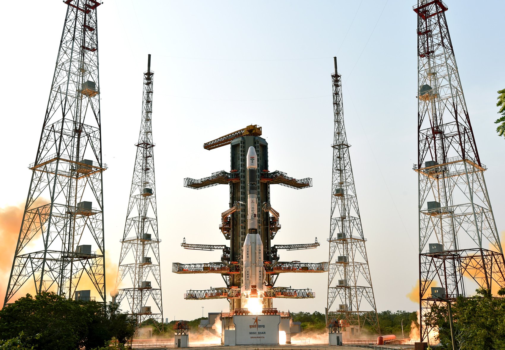
GSLV Mk. II
Pad
Satish Dhawan Space Centre Second Launch Pad
Satish Dhawan Space Centre, India
Programs
No programs
Launch date
Launch: 7/16/2025, 11:30:00 AM
Window start: 7/16/2025, 11:30:00 AM
Window end: 7/16/2025, 3:30:00 PM